NORDIC TREKKING ROUTE: “Nordic Trekking Park” in Oggebbio - Route 9 - Piancavallo
Road access
To reach the starting point, take the A26 motorway towards Gravellona Toce, leaving at the exit for Verbania. Follow the signs for Verbania/Locarno (Switzerland).
When you reach Verbania, follow the signs for Bee/Premeno/Piancavallo.
Description of the itinerary
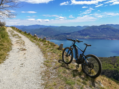
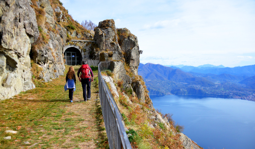
For the outward route take the military road (built at the start of the First World War) to Selletta Morissolo, then proceed following the north-west ridge to the top of Mount Morissolino. The 360-degree view is one of the most beautiful in the Alto Verbano area: it embraces the whole of Lake Maggiore, the Apennine Alps and the Massif of Mount Rosa. or the return journey follow the south ridge, then the asphalt road to Piancavallo. This itinerary is not very well marked and must only be undertaken in good weather conditions or in the absence of snow.
Notes
A map of the routes can be obtained from the offices listed here below or on the website of the municipality of Oggebbio section "Area Turistica".
Route design and certification: Scuola Interdisciplinare del Camminare ®
Tourist information
Oggebbio town council: Piazza Municipio 1 - 28824 Oggebbio
Tel. 0323 48123/491005 - fax 0323 491921
protocollo@comune.oggebbio.vb.it - www.comune.oggebbio.vb.it
Tourist Office of Cannero Riviera: Via Orsi,1 - 28821 Cannero Riviera
Tel. 0323 788943 - cannero@distrettolaghi.it
DIRECTLY CONTACT THE TOURIST OFFICE OF CANNERO RIVIERA
46.0093905, 8.6293845
46.0093905, 8.6293845
Nearby
Discover places, experiences and activities in nearby locations


