Run walk flag
Outdoor & Nature

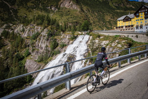
BIKE TOURING: Giro d'Italia - San Domenico
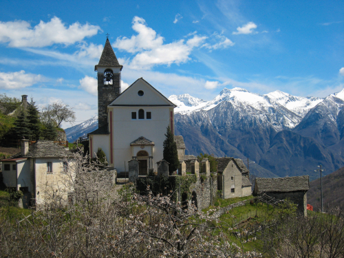
Valli dell'Ossola
23,80 km
Length
1 144 m
Difference in altitude
3-6 hours
Duration
Average
Difficulty

The climb made famous by Women Cyclists

Thanks to the stage finish in no less than 4 editions of the women's Giro d'Italia (2013, 2014, 2015 and 2019), this climb has risen to international headlines. 
San Domenico, thanks in part to the nearby Simplon Pass (at an elevation of 2005 m.a.s.l.) and its excellent hotel infrastructure, has for the past few years become a coveted training site for some of the world's top professional cyclists. 
Between Domodossola and Varzo there is the first section up to the Napoleonic bridge at Crevoladossola and leading to the junction between the Divedro Valley and the Antigorio Valley: difficult, but not prohibitive. The same is true from the exit of the old SS 33 until the arrival in Varzo.
The real climb, however, is the one starting from the Divedro Valley capital, which should not be underestimated, despite the fact that the elevation gain appears to be not excessive. 

In the attached: the complete description of route, map and GPX track. 

Live
Partlycloudy night
Partly cloudy
17°
Stazione FS Domodossola
28845 - Domodossola (VB)

46.115423769244, 8.2963138818741

46.115423769244, 8.2963138818741

Nearby

Discover places, experiences and activities in nearby locations

Run walk flag
Bike

BIKE TOURING: Giro d’Italia - Domodossola/Cascata del Toce

Valli dell'Ossola
Run walk flag
Bike

CYCLE ROUTE: Toce Cycleway - Villadossola Sports Hill

Valli dell'Ossola
Run walk flag
Bike

MTB ROUTE: Lower Bognanco Valley

Valli dell'Ossola
Run walk flag
Bike

CYCLE ROUTE: Toce Cycle Path/Cycling around the villages

Valli dell'Ossola