Run walk flag
Outdoor & Nature

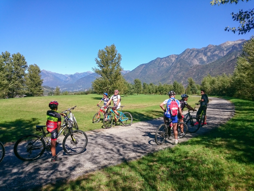
MTB ROUTE: Lower Bognanco Valley
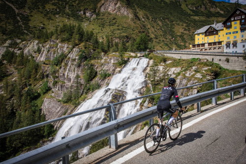
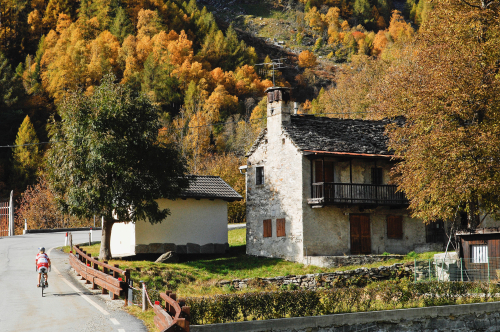
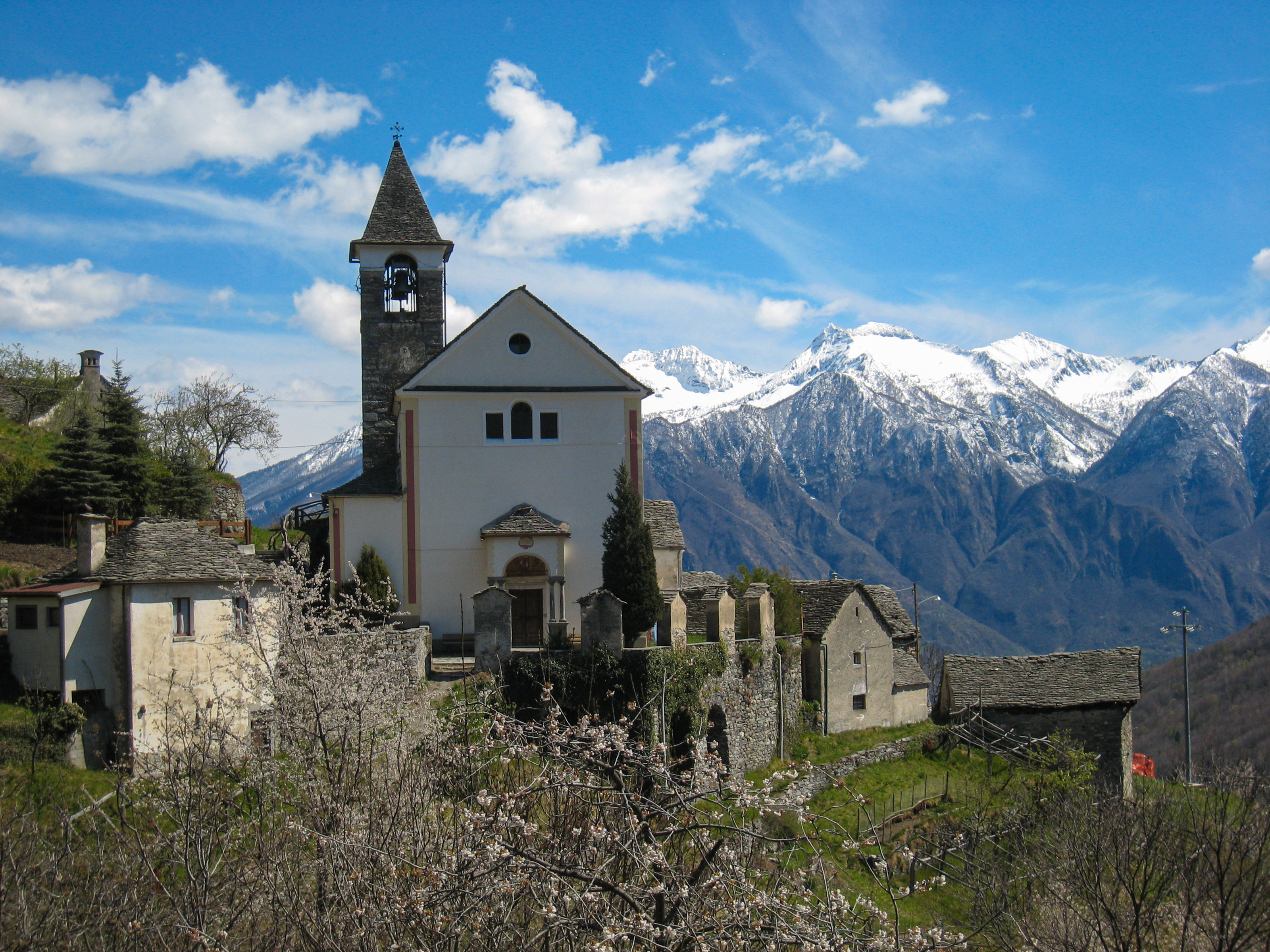
Valli dell'Ossola
25,00 km
Length
1 100 m
Difference in altitude
1-3 hours
Duration
Average
Difficulty

The loop itinerary starts from Domodossola and includes discovering the rural hamlets of the lower Bognanco Valley. The history of human settlements on the Piedmont strip tells the collective adventure of small rural communities constantly engaged in an arduous struggle against the roughness and harshness of the mountains. It is a fascinating story because it is so far removed from us, and it skilfully shapes the land by creating possibilities for life in an environment dominated by vertical coordinates.

In the attached: the complete description of route, map and gpx track.

Live
Partlycloudy night
Partly cloudy
17°
Stazione FS Domodossola
28845 - Domodossola (VB)

46.1154217, 8.2964016

46.1154217, 8.2964016

Nearby

Discover places, experiences and activities in nearby locations

Run walk flag
Bike

BIKE TOURING: Giro d’Italia - Domodossola/Cascata del Toce

Valli dell'Ossola
Run walk flag
Bike

CYCLE ROUTE: Toce Cycleway - Villadossola Sports Hill

Valli dell'Ossola
Run walk flag
Bike

CYCLE ROUTE: Toce Cycle Path/Cycling around the villages

Valli dell'Ossola
Run walk flag
Bike

BIKE TOURING: Giro d'Italia - San Domenico

Valli dell'Ossola