Run walk flag
Outdoor & Nature

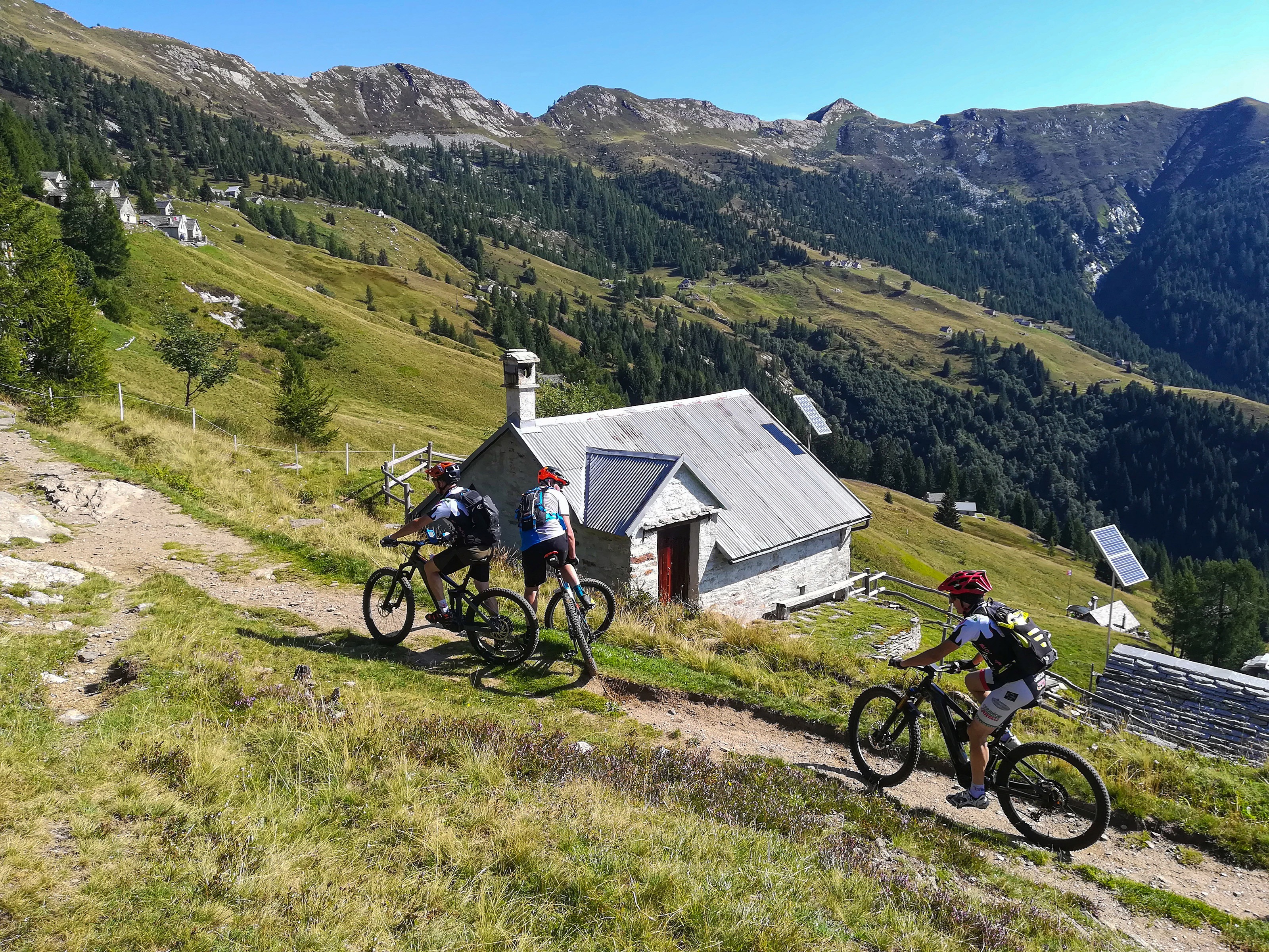
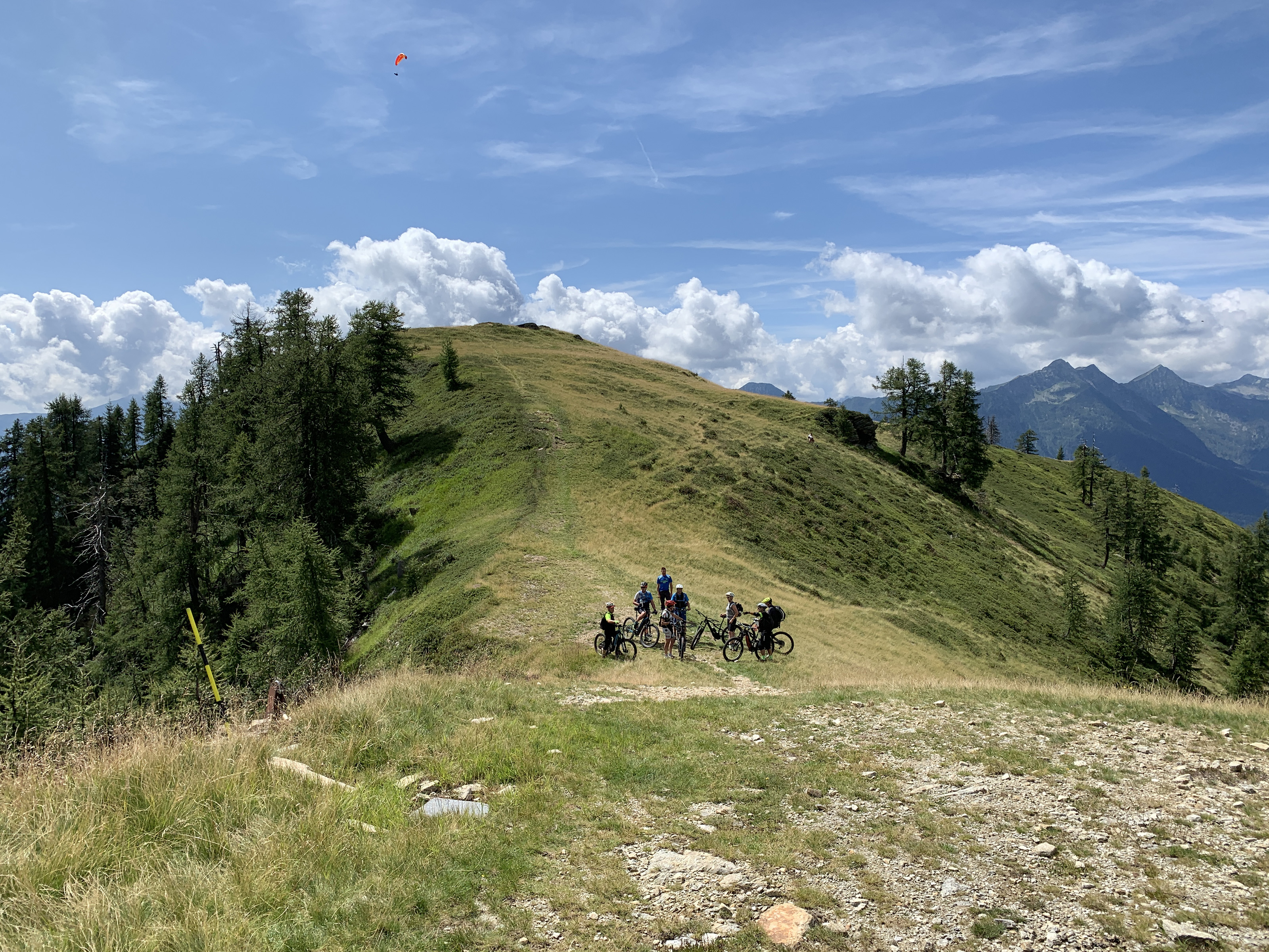
MTB ROUTE: Panoramas of Piana di Vigezzo
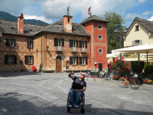
Valli dell'Ossola
22,50 km
Length
1 006 m
Difference in altitude
3-6 hours
Duration
Average
Difficulty

Two dirt roads that connect the municipalities of Toceno and Craveggia to the Piana di Vigezzo allow for a ring of more than 20 km unique and unmissable for its fantastic landscapes and views.
Starting point of the route is the Piana di Vigezzo cable car station in Prestinone, which is equipped with parking, toilets, and an e-bike rental point.

In the attached: the complete description of the route, the map and GPX track.

Live
Partlycloudy night
Partly cloudy
14,7°
Via Carlo Fornara Pittore, 13 - Loc. Prestinone
28852 - Craveggia (VB)

46.138244156506, 8.4783124923706

46.138244156506, 8.4783124923706

Nearby

Discover places, experiences and activities in nearby locations

Run walk flag
Trekking

PATH FOR ALL - Santa Maria Maggiore

Valli dell'Ossola
Show theater masks
Museums

Casa del Profumo Feminis Farina

Tourist attractions
Show theater masks
Museums

Museo dello Spazzacamino

Tourist attractions
Show theater masks
Villages

Santa Maria Maggiore - Small town of excellence

Mountains